- 习近平在加强基础研究座谈会上强调 以更大力度更实举措加强基础研究 进一步打牢科技强国建设根基 04-30
- 《光明日报》发表李国英部长署名文章:体系化推进、系统性提升水利科技创新能力 04-14
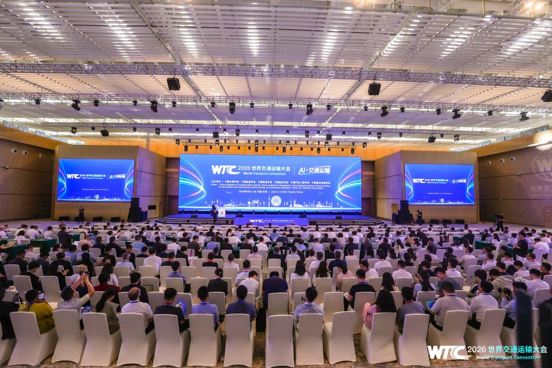
- “人工智能+交通运输”典型应用场景创新行动方案发布 06-29
- 柳江发生2026年主要江河第1号洪水 06-22
- 青海省海西州直辖区发生6.3级地震 水利部迅即启动水利抗震救灾调度指挥机制 06-17
- 交通运输部召开党组会 06-15
- 李国英主持召开水利部部务会议 06-15
- 李国英调研湖北水利工作 06-11
- 我院承担的国家重点研发计划课题“气候变化与人类活动对长江中下游湖泊影响的模拟及预测”通过绩效评价 06-29
- 水利行业标准《小(2)型水库大坝安全评价导则》颁布实施 06-24
- 水利行业标准《水库大坝安全管理应急预案编制技术导则》颁布实施 06-22
- 我院主编的《河湖岸坡生态治理技术规范》(SL/T 879-2026)批准发布 06-08
- 我院牵头的“十四五”国家重点研发计划重点专项“库坝系统自然灾害损害快速诊断与防控关键技术装备”通过综... 06-06
- 《水闸安全评价导则》(SL/T 214 2026)获水利部批准发布 06-05
- 水利部大坝安全管理中心主编的2项水利行业技术标准通过送审稿审查 05-07
- 国家重点研发计划“揭榜挂帅”项目课题“150m-1°微流场渗漏监测与追踪探测装备研制”在青要山大坝开... 05-06

- 安徽瑞迪工程科技有限公司助力河南防汛实战演练 06-11
- 安徽瑞迪工程科技有限公司参加2026年湖南省水库防汛抢险专项演练 06-11
- 瑞迪科技集团举办院属科技产业“十五五”高质量发展规划研讨会 04-22
- 瑞迪高新公司助力杭州湾跨海高铁大桥南塔塔肢合龙 03-11
- 设计公司牵头编制的《水运工程660MPa级带肋钢筋混凝土结构技术规范》正式发布 11-18
- 设计公司全过程咨询护航天星洲海轮锚地疏浚工程 11-18
- 我院科兴公司承监的西藏拉洛水利枢纽及配套灌区工程通过竣工验收 11-04
- 淮阴二号船闸除险保安工程顺利通过交工验收 09-29
- 南京水利科学研究院2026年大型科研仪器开放共享数据信息公示 06-22
- 2026年改善科研条件专项房屋修缮及基础设施改造项目监理服务综合评议比选公告 06-03
- 南京水利科学研究院2026年博士后研究人员招收公告 05-08
- 南京水利科学研究院水科技创新中心及职工与研究生宿舍项目最高投标限价(含工程量清单)审核造价咨询服务综... 04-24
- 南京水利科学研究院水科技创新中心及职工与研究生宿舍项目最高投标限价(含工程量清单)编制造价咨询服务综... 04-24
- 南京水利科学研究院2026年公开招聘非事业编制工作人员公告 04-16
- 广州路223号园区燃气监测关断系统及锅炉制冷机房室外地下管线安全隐患整改维修项目综合评议比选公告(第... 03-27
- 广州路223号园区燃气监测关断系统及锅炉制冷机房室外地下管线安全隐患整改维修项目流标公告 03-20
- 联合国教科文组织政府间水文计划中国国家委员会 02-04
- 南京水利科学研究院建院90周年专题 10-24
- 太湖流域水治理国际会议 11-13
- 南京水利科学研究院安全生产工作宣传专栏 06-11
- 第四届水安全与可持续发展国际高端论坛 11-03
- 中国共产党南京水利科学研究院第四次代表大会 09-28
- 学习贯彻习近平新时代中国特色社会主义思想主题教育 05-10
- 我国首部综合性水利图集《中国水图》正式出版 03-04