- 习近平在加强基础研究座谈会上强调 以更大力度更实举措加强基础研究 进一步打牢科技强国建设根基 04-30
- 《光明日报》发表李国英部长署名文章:体系化推进、系统性提升水利科技创新能力 04-14
- 交通运输部召开党组会 05-12
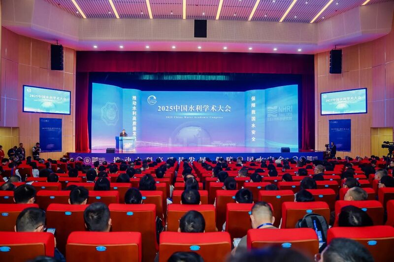
- 水利部召开推动水文高质量发展专家座谈会 05-12
- 国家能源局联合相关部门促进人工智能与能源双向赋能 05-12
- 李国英主持召开水利部部务会议 05-09
- 水利部党组学习贯彻习近平总书记重要讲话指示精神 05-07
- 水利部召开党建工作领导小组(扩大)会议 部署进一步推进树立和践行正确政绩观学习教育工作 05-07
- 信长星在南京水利科学研究院调研 11-21
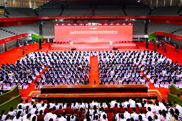
- 李国英赴南京水利科学研究院调研水利科技创新工作 10-17
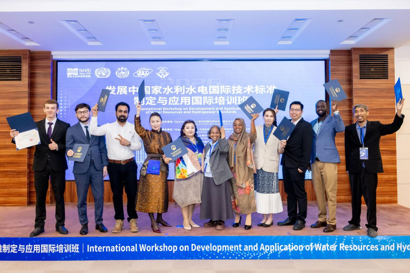
- 全国水文业务管理能力提升培训班在南京举办 05-12
- 中国航海学会来我院调研交流 05-10
- 我院与科学出版社签署出版战略合作框架协议 05-10
- 水利部水文司来我院调研 05-09
- 我院举办第十九届青年学术交流会 05-08
- 水文与水工程安全监测检测国家质量标准实验室获批培育建设 05-08
- 水利部大坝安全管理中心主编的2项水利行业技术标准通过送审稿审查 05-07
- 国家重点研发计划“揭榜挂帅”项目课题“150m-1°微流场渗漏监测与追踪探测装备研制”在青要山大坝开... 05-06
- 我院牵头的国家重点研发计划项目“智能大坝透彻感知体系构建及改造关键技术与设备”召开季度推进暨专家咨询... 04-29
- 国家自然科学基金区域创新发展联合基金重点支持项目启动暨实施方案论证会在南京召开 04-28
- 我院牵头编制的《水工建筑物现场振动测试规程》(送审稿)通过审查 04-13
- 《调水工程安全监测技术规范》送审稿通过审查 04-13
- 我院主编的国家标准《地下水禁限采区划定导则》通过工作大纲审查 03-17
- 我院牵头的国家重点研发计划项目“丹江口库区及上游流域水质安全保障关键技术研究与示范”召开2025年度... 02-12

- 南京水利科学研究院2026年博士后研究人员招收公告 05-08
- 南京水利科学研究院水科技创新中心及职工与研究生宿舍项目最高投标限价(含工程量清单)审核造价咨询服务综... 04-24
- 南京水利科学研究院水科技创新中心及职工与研究生宿舍项目最高投标限价(含工程量清单)编制造价咨询服务综... 04-24
- 南京水利科学研究院2026年公开招聘非事业编制工作人员公告 04-16
- 广州路223号园区燃气监测关断系统及锅炉制冷机房室外地下管线安全隐患整改维修项目综合评议比选公告(第... 03-27
- 广州路223号园区燃气监测关断系统及锅炉制冷机房室外地下管线安全隐患整改维修项目流标公告 03-20
- 广州路223号园区燃气监测关断系统及锅炉制冷机房室外地下管线安全隐患整改维修项目综合评议比选公告 03-09
- 南京水利科学研究院办公室统筹实施的院2026年度小型维修工程竞争性磋商公告 03-05
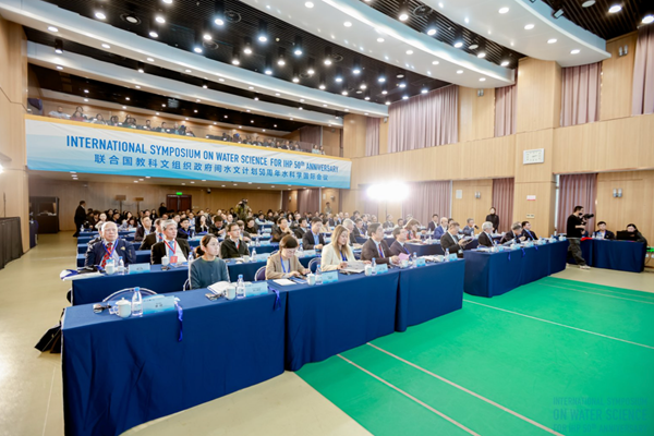
- 联合国教科文组织政府间水文计划中国国家委员会 02-04
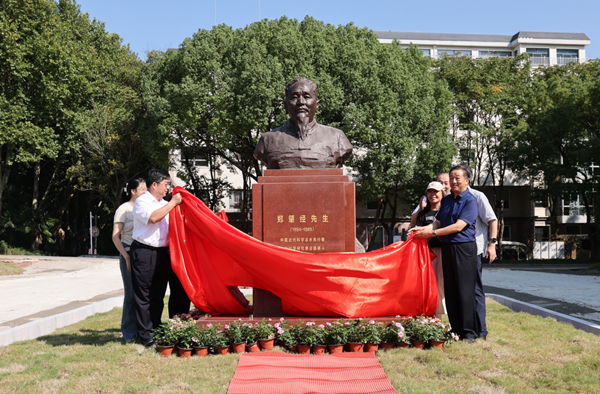
- 南京水利科学研究院建院90周年专题 10-24
- 太湖流域水治理国际会议 11-13
- 南京水利科学研究院安全生产工作宣传专栏 06-11
- 第四届水安全与可持续发展国际高端论坛 11-03
- 中国共产党南京水利科学研究院第四次代表大会 09-28
- 学习贯彻习近平新时代中国特色社会主义思想主题教育 05-10
- 我国首部综合性水利图集《中国水图》正式出版 03-04